


You're in Santa Rosa, the morning is clear, and you want a change of scenery without planning a full weekend away. From Sonoma County, Sugarloaf Ridge State Park makes that easy. The drive to Kenwood takes about 30 to 45 minutes, and the familiar valley roads give way to oak woodland, steep ridges, seasonal creeks, and views toward the Mayacamas (park history).
A first visit can serve several purposes. Families and older adults can begin with an easy, educational walk. Hikers can spend the day climbing toward Bald Mountain, while stargazers can return after dark for a public astronomy program at Robert Ferguson Observatory. These options require different plans, much like choosing between a short neighborhood stroll, a full-day climb, and an evening event.
The park's history adds context, from land purchased by the state in 1920 to its entry into the California State Park System in 1964. For a wider view of the region, the Sonoma County facts and geography guide places this North Bay escape within Sonoma County.
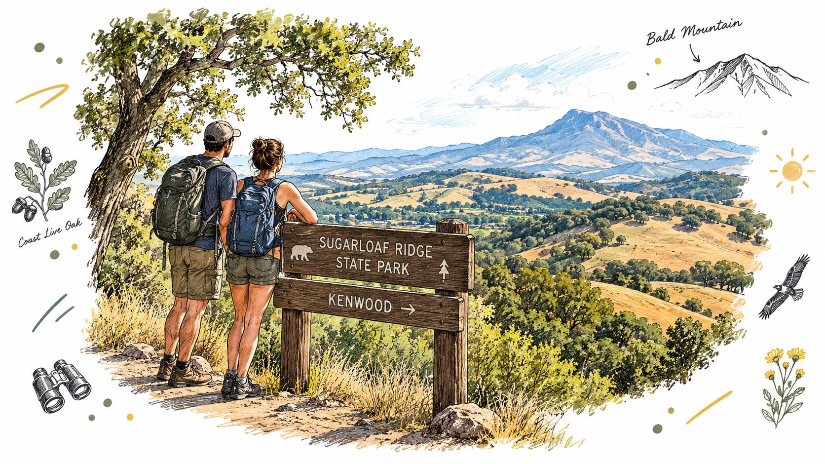
Match the visit to your group and schedule. Short walks suit families and older adults, the extensive trail network rewards experienced hikers, and observatory visits depend on darkness, current conditions, and program availability.
Getting There Hours Fees and Access Tips
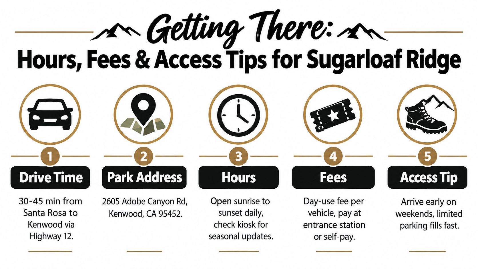
If you are planning a 30 to 45 minute Sonoma County day trip, set up the practical details before leaving Santa Rosa. Use the address noted in the introduction, and save the route while you still have reliable service. Reception can be inconsistent near the park, so an offline map and a clear trailhead plan are useful. The entrance, parking areas, and trail choices work like stages of the same outing: settle the arrival details first, then choose a walk that fits your group.
Check the entrance before unloading
Sugarloaf Ridge State Park is described as open year-round, with day use generally running from 6 a.m. to 8 p.m. below the kiosk (official park information). Use those hours as a starting point, then confirm current conditions before setting out. Access, campground availability, trail closures, and observatory programming can change, especially after weather.
Day-use payment may be available at the automated station near the upper entrance, the iron ranger at the Goodspeed trailhead, or the staffed kiosk or Visitor Center when those facilities are open. The available option depends on your entry point and whether staff are present, so bring a suitable payment method and do not assume the Visitor Center will be open.
Practical rule: Check official park conditions on the day of your visit, then leave with your route, payment plan, water, and backup walk already chosen.
Choose arrival time by purpose
Early arrival suits families who want easier parking, quieter paths, and cooler conditions. It also leaves room to change plans if a trailhead is busy or weather has altered a route. A longer hike toward Bald Mountain benefits from an early start, particularly on exposed sections. For a short, family-friendly or ADA walk, later morning may work if parking and access remain favorable.
Stargazing requires a separate check. The 6 a.m. to 8 p.m. day-use window does not by itself confirm after-dark public access. Robert Ferguson Observatory programs and nighttime arrangements must be verified through current official information, including the schedule for the evening you plan to visit. That extra check lets you build a more realistic day: an accessible walk or hike in daylight, followed by astronomy only when the observatory and park arrangements align.
Understanding the Terrain From Valley Floor to Bald Mountain
A short visit near the entrance and a climb to Bald Mountain can feel like two different parks. The entrance sits at about 600 feet, while Bald Mountain reaches 2,729 feet, a difference of 2,129 feet across the climb (California State Parks landscape document). That rise changes the temperature, plants, trail effort, and views. For a 30 to 45 minute Sonoma County outing, the lower paths may be enough. With more time and water, the upper ridges offer a much bigger horizon.
Why elevation changes the experience
Near the lower areas, open spaces, creek corridors, and woodland make short walks approachable. Higher up, slopes become more noticeable and views open toward Sonoma and Napa valleys. Bald Mountain provides the broadest outlook, including Mount Saint Helena and Napa Valley.
The ground beneath your feet also helps explain the park's variety. The north side includes Franciscan Core Complex rocks, while the southern side contains Sonoma Volcanics formed roughly 2.5 to 9 million years ago, including basalt, andesite, and rhyolite (geology guide to Sugarloaf Ridge). These rock types affect ridge shapes, soil depth, drainage, and the firmness of steep slopes. In practical terms, geology works like the park's foundation: it influences how trails feel and where water moves.
Read trail conditions like a local
After rain, the same route can change from an easy walk to a muddy, slippery outing. Contacts between volcanic and Franciscan materials, along with serpentinized ultramafic areas, can contribute to unstable ground and faster erosion after winter storms. Check current conditions, expect mud or damaged sections, and turn around when the surface is failing rather than forcing the route.
Fire has reshaped many views. In 2017, the Tubbs Fire burned about 80 percent of a 3,300-acre portion of the park (California State Parks landscape document). Recovering areas may look stark, yet they also show forests and grasslands responding to disturbance. That makes the park useful for more than a summit walk. A lower ADA-friendly outing, a family stop, and a longer hike each reveal a different stage of the same recovery.
Trail Highlights and How to Choose Your Hike
A 30 to 45 minute drive from much of Sonoma County can lead to a surprisingly full day outdoors. The park has about 25 to 30 miles of trails, so choose by time, climbing ability, and the kind of experience your group wants, rather than by trail name alone.
Bald Mountain is the main goal for visitors seeking the widest views. The route starts low and climbs toward the 2,729-foot summit, with broad sightlines toward Mount Saint Helena and Napa Valley. Allow extra time for the ascent and descent, carry enough water, and avoid treating it as a casual stop between other plans. It suits a prepared hiking group that can manage sustained uphill effort.
Creekside Nature Trail offers a gentler introduction. Its focus stays near water, plants, and lower ground, making it a good choice for a short visit or a first park walk. The Fire Recovery Walk adds interpretation, showing how wildfire affects vegetation, habitat, and trail views. The point is to read the recovering area, not pass through it.
Routes connecting toward Spring Lake can extend the outing, but conditions, access, and group stamina determine whether that plan works. A connection does not automatically create an easy loop. Check the current map at the Visitor Center or the official park information before leaving the trailhead.
Sugarloaf Ridge Trail Finder by Effort and Experience
| Trail | Distance and Effort | Best For |
|---|---|---|
| Nature Trail | 0.5 mile one way, easy and ADA designated (California State Parks hiking information) | Accessible walking, families, older adults, and short visits |
| Creekside Nature Trail | Short, gentle nature-focused route, confirm current conditions before departure | Creek observation, school groups, and beginners |
| Fire Recovery Walk | Self-guided educational walk, effort varies with the selected route | Learning about wildfire recovery and terrain change |
| Bald Mountain | Sustained uphill effort toward 2,729 feet | Panoramic views and a more demanding hike |
| Spring Lake connections | Longer route planning with changing effort and conditions | Strong hikers building a full outing |
Match the route to the day you want. For a half-day Sonoma County visit, pair an easy walk with a picnic rather than rushing toward the summit. For a full day, choose one main hike and leave room for breaks, changing weather, or a visit to Robert Ferguson Observatory after dark. Spring often brings greener hillsides and seasonal water, summer rewards early starts, fall usually feels cooler and clearer, and winter can make creek corridors more dramatic while increasing mud and erosion concerns.
Easy Walks Accessibility and Family Friendly Options
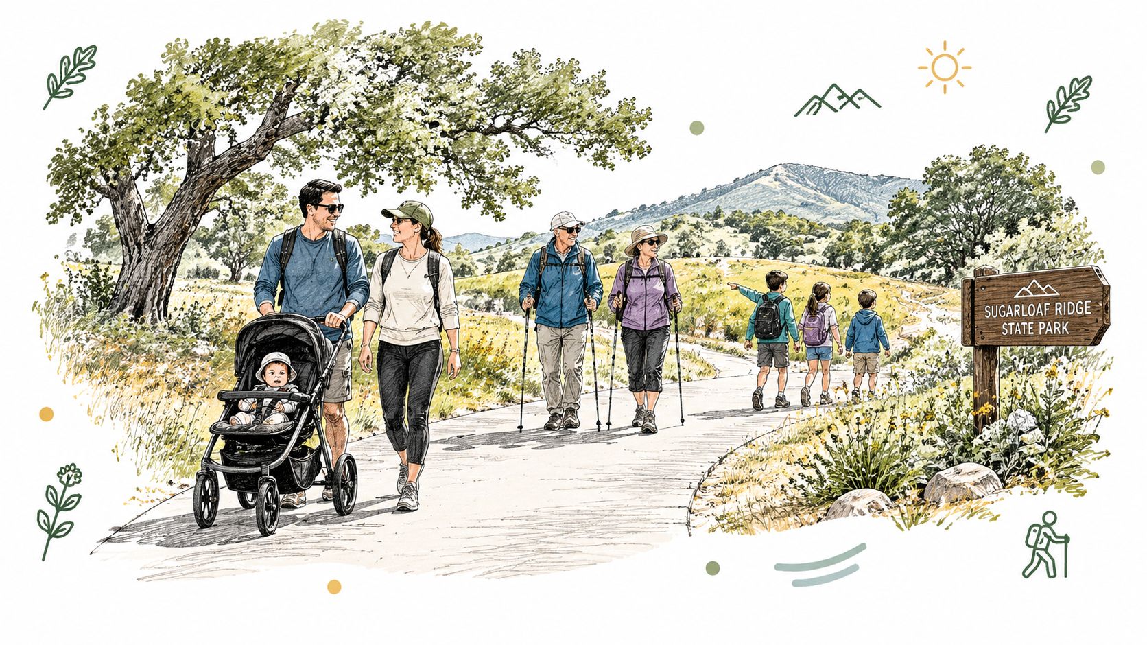
A family outing can fit into a 30 to 45 minute Sonoma County day trip without requiring a summit. The main planning question is simple: can every person in the group comfortably reach the trail, use the facilities, and return before heat or fatigue becomes a problem? Use the Trail Finder above to choose the route, then confirm the day's practical details at the park.
Plan around access, not just distance
Parking location affects the first and last part of the walk. Before unloading mobility equipment, a stroller, or a tired child, check how far the vehicle area is from the chosen route and whether the approach includes an uneven surface or noticeable incline. A short trail can still feel demanding if the access path is rough or exposed to sun.
Ask at the Visitor Center about current parking, restroom locations, surface conditions, and temporary closures. These details can change after rain, maintenance, or fire-related work. Accessibility is a complete outing plan, not only a trail label. Shade, seating, water, and a reliable turnaround point matter just as much as distance.
Families using a stroller should confirm that its wheels suit the current surface before leaving the parking area. A lightweight stroller may work on a firm, smooth route, while loose gravel, mud, roots, or a steeper section can make carrying it safer than pushing it. Keep the route short enough that an adult can return comfortably if the youngest hiker loses interest.
Children usually walk farther when they have something specific to notice. Give them a simple assignment, such as finding different leaf shapes, listening for water, or spotting changes in the tree canopy. The same slow pace can help older adults, visitors recovering from injury, and anyone who needs frequent rest.
Pack water, sun protection, sturdy shoes, snacks, and a light layer. Picnic facilities can extend a brief walk into a relaxed half-day, while an accessible route can leave energy for an evening visit to Robert Ferguson Observatory if the schedule allows. That layered plan keeps the morning manageable and preserves the option of stargazing after dark.
A good family outing ends with everyone still curious, not with the strongest hiker deciding how far the group must continue.
Camping Picnics and Stargazing After Dark
Sugarloaf Ridge State Park suits a layered Sonoma County day trip. From nearby communities, you can reach the park in roughly 30 to 45 minutes, then arrange the outing in stages: an easy creekside or accessible walk, a picnic, and, if schedules permit, an evening program at Robert Ferguson Observatory. The order works like a relay. Each activity uses a different level of energy, so a short morning walk can leave room for the night sky.
Camping information changes with reservations, site availability, vehicle limits, pets, facilities, and operating conditions. Confirm those details through official park channels before traveling. For ideas beyond this park, the Sonoma County camping guide helps compare local overnight options. The campground and visitor facilities remain at the same park address noted earlier.
Make the observatory the night's anchor
Robert Ferguson Observatory is inside the park, where the surrounding hills help reduce city light pollution. The official stargazing information describes it as Northern California's most active public observatory and the largest in the western United States dedicated completely to public viewing and education (Sugarloaf Ridge stargazing information).
The hills improve contrast against the darker sky, while the observatory's three telescopes and public programs provide equipment and guidance that a typical backyard viewing session cannot. Check the observatory schedule, reservation requirements, weather policy, and access instructions before planning to arrive after sunset.
Plan the transition from day to night
Bring warm layers, water, food that can be secured, and a small flashlight with a red-light option if permitted. Keep the daytime hike moderate when astronomy is the main goal. Children may enjoy a short walk and early picnic more than a summit attempt followed by a late program.
Day-use hours do not automatically confirm access for a specific evening event. Use the observatory's published program information and current park conditions when setting the nighttime plan. Checking first prevents an avoidable problem: arriving with a sunset itinerary but no confirmed after-dark access.
Seasonal Tips Flora Fauna and Planning Your Best Visit
Spring brings greener hillsides, active seasonal creeks, and possible wildflowers. Summer hiking is more comfortable with an early start because exposed ridges heat up quickly. Fall often offers pleasant trail conditions and woodland color. Winter can make creeks and waterfalls more dramatic, while wet slopes and storm damage call for a current trail check.
Habitats range from creek corridors to recovering fire areas, so plant and wildlife sightings vary. Watch from the trail instead of approaching animals. Keep children close near water, steep edges, and unstable ground. Patience usually reveals more than searching noisily.
A practical departure checklist
- Confirm conditions: Check the official Sugarloaf Ridge website and current operational updates before driving, especially since visitor information has changed across 2025 and 2026.
- Choose one primary route: Match the trail to your group's mobility, available time, and heat tolerance. A shorter daytime walk leaves more energy for an evening observatory program.
- Prepare for payment: Use the entrance station, Goodspeed trailhead iron ranger, or staffed kiosk when available, following the official park information.
- Pack for changing weather: Bring water, layers, sun protection, food, and shoes suited to uneven ground.
- Verify astronomy plans: Confirm Robert Ferguson Observatory programming and after-dark access through the Sugarloaf Ridge stargazing information.
TripAdvisor lists Sugarloaf Ridge State Park at 4.6 out of 5 based on 97 reviews, including 62 Excellent and 31 Very good ratings (TripAdvisor visitor reviews). Use that as context, then let trail conditions, group needs, and your confirmed schedule determine the plan.
For a first 30 to 45 minute Sonoma County outing, choose an easy nature walk, build toward Bald Mountain only when conditions suit your group, and reserve the observatory as the night's anchor.

Sign up for Sonoma County Navigator
Discover Sonoma County! Latest News, places to play, stay, eat, live, shop, learn and more!
No spam. Unsubscribe anytime.